


AllTrails vs OsmAnd
Side-by-side comparison of features, pricing, ratings, and alternatives.


AllTrails provides a searchable database of over 500,000 trails with detailed maps, photos, and user reviews. The app helps hikers, runners, and cyclists discover new routes and plan trips with confidence. The platform offers offline map access, real‑time GPS tracking, and integration with fitness services, making it a go‑to companion for outdoor adventures of any length.
OsmAnd is an offline maps and navigation app built on OpenStreetMap and Wikipedia data, letting users store detailed maps directly on their device so routing works without an internet connection. Because routes are calculated locally rather than through a remote server, the app emphasizes user privacy alongside offline reliability.
- Huge database of global trails
- Offline map capability
- Active community with reviews and photos
- Integrates with popular fitness platforms
- Works fully offline once maps are downloaded
- Open-source with community-sourced map data
- No routes sent to external servers, aiding privacy
- Detailed customization of map layers
- Limited features in the free tier
- No public API for developers
- Occasional map rendering delays
- Interface is less polished than mainstream mapping apps
- Exact pricing for OsmAnd+ and subscription tiers isn't listed on the main site
- Map data quality depends on OpenStreetMap coverage in a given area
More alternatives & similar tools
Alternatives to AllTrails
View all →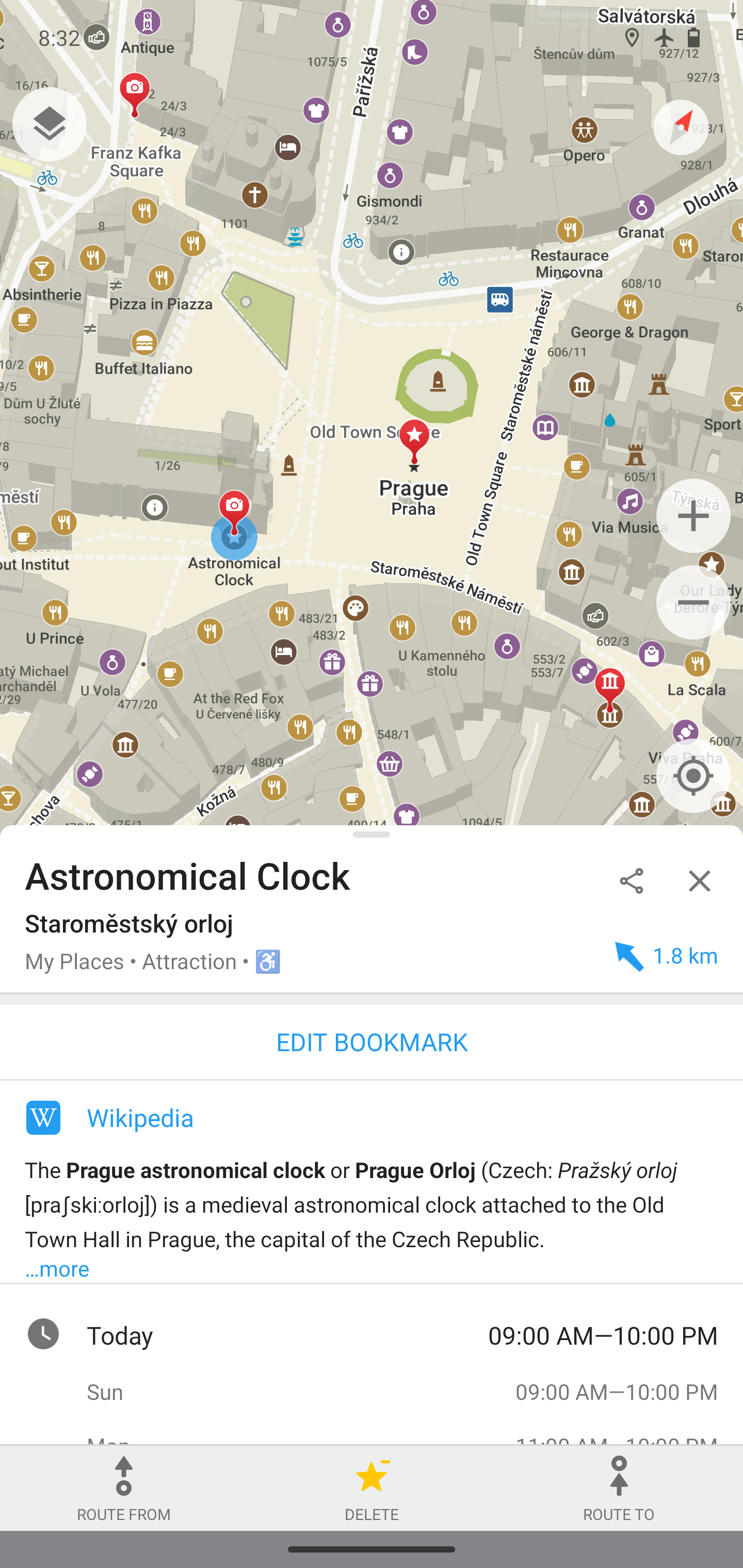
Privacy-focused offline maps and GPS navigation for hiking, cycling, and driving.


Alternatives to OsmAnd
View all →
Privacy-focused offline maps and GPS navigation for hiking, cycling, and driving.

The Verdict
AI-generated from listing dataOsmAnd offers fully offline, privacy‑focused navigation with open‑source maps, while AllTrails provides a massive curated trail database and fitness integrations but relies on cloud services.
Key differences
- •Offline capability: OsmAnd works entirely offline after download; AllTrails requires cloud sync for many features.
- •Map data source: OsmAnd uses OpenStreetMap community data; AllTrails uses a proprietary trail catalog.
- •Customization vs community content: OsmAnd lets users layer contours, hill‑shading, and export GPX; AllTrails offers user reviews, photos, and ratings.
- •Integrations: AllTrails syncs with Apple Health, Google Fit, Strava; OsmAnd has no listed third‑party integrations.
- •Open source vs closed: OsmAnd is open‑source; AllTrails is closed source with no public API.
Pricing & value
Both are freemium, but OsmAnd’s open‑source model adds value without needing a paid tier for core offline use.
Ease of use / learning curve
AllTrails’ polished UI and curated trail search are generally easier for casual hikers than OsmAnd’s less‑polished interface.
Features & depth
OsmAnd provides detailed map layers, GPX export, and true offline navigation; AllTrails limits offline features to its catalog.
Integrations & ecosystem
AllTrails integrates with Apple Health, Google Fit, and Strava; OsmAnd lists no integrations.
Security & privacy
OsmAnd routes are not sent to external servers, emphasizing privacy; AllTrails relies on cloud services.
Support
AllTrails offers email and Help Center support; OsmAnd’s support details are not specified.
Scalability / lock‑in
AllTrails’ cloud SaaS scales globally with its trail database; OsmAnd depends on OSM coverage, which varies by region.
Choose AllTrails if…
Outdoor enthusiasts who want a large trail catalog, fitness app sync, and community reviews.
Choose OsmAnd if…
Users needing guaranteed offline navigation, map customization, and strong privacy (e.g., hikers in remote areas).
Common questions
Can I use either app completely offline?
OsmAnd works fully offline after maps are downloaded; AllTrails offers offline maps but many features still rely on cloud sync.
Is there any cost to access core navigation features?
Both have free tiers; OsmAnd’s core offline navigation is free, while AllTrails limits many features to its paid tier.
Do either apps share my location data with third parties?
OsmAnd does not send routes to external servers, emphasizing privacy; AllTrails uses cloud services, so data may be stored on its servers.