Komoot vs Tripomatic
Side-by-side comparison of features, pricing, ratings, and alternatives.


Komoot is an outdoor adventure app that helps hikers, cyclists, mountain bikers, and runners find, plan, and navigate routes tailored to their sport and skill level. It combines sport-specific route generation with turn-by-turn voice navigation, offline map downloads for areas without cell coverage, and 3D map visualization to preview terrain. Beyond routing, Komoot is built around a community of roughly 45 million outdoor enthusiasts who share photos, tips, and route recommendations, contributing to a library of around 8 million routes across 100+ countries. Its Premium tier adds multi-day route planning with accommodation suggestions, personal route collections, live location sharing, weather forecasting along a route, and Garmin device integration.
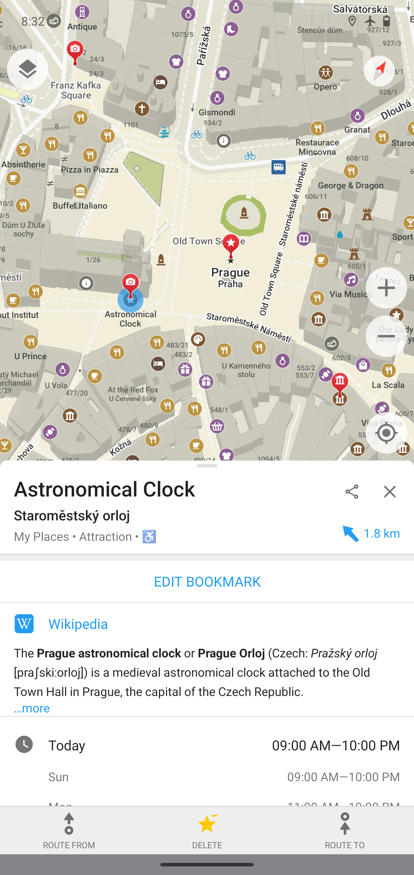
Tripomatic (the rebranded successor to Sygic Travel) is a trip-planning platform that combines destination discovery with day-by-day itinerary building. It draws on a database of millions of places with details, opening hours, and local tips, letting travelers drag and drop stops into a schedule that automatically estimates travel time between them. The platform adds AI-generated itinerary suggestions based on interests and travel style, smart routing across multiple transport modes, and AI-driven cost estimation. Trips can be built collaboratively in real time, exported as PDF, GPX, or KML, and accessed offline, with mobile apps on iOS and Android used by a claimed 3 million-plus travelers.
- Large, active community contributes route tips and photos beyond raw GPS data
- Sport-specific route generation adapts to hiking, cycling, or running needs
- Offline maps are genuinely useful in areas with poor signal
- Available across web and mobile with Garmin device support
- Combines discovery and scheduling in one tool
- AI itinerary generation speeds up planning
- Offline access and GPX/KML export
- Free-form collaborative editing with travel companions
- Some of the most useful planning features are gated behind Premium
- Route quality depends partly on community contributions, which can vary by region
- Primarily suited to outdoor recreation, not general-purpose city navigation
- Pricing tiers are not published on the site
- AI suggestions still require manual review for accuracy
- Depth of local data varies by destination