


FarOut
Offline GPS trail guides for long-distance hiking, biking, and paddling routes
Alternatives

Choose MapMyFitness if…
- you need real‑time GPS stats during runs or rides
- you want audio coaching and dynamic training plans
- you track gear mileage like shoe wear
- you rely on a robust free tier with community challenges
- you use fitness wearables that sync with the app

Choose OsmAnd if…
- you need worldwide offline maps, not just limited trail
- you want routing that never leaves your device for privacy
- you prefer a single app for hiking, cycling, and everyday
- you rely on community‑maintained map updates rather than
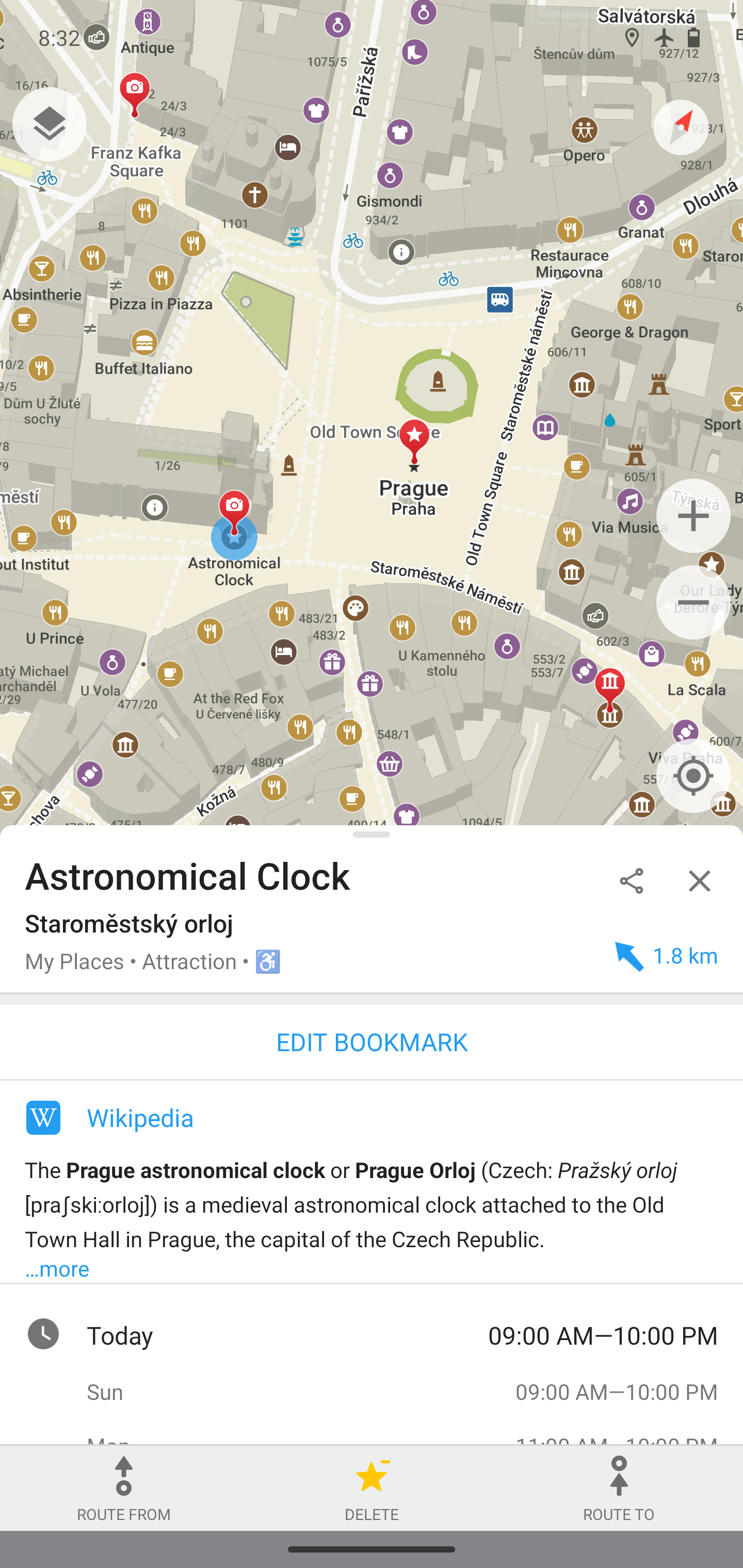
Choose Organic Maps if…
- you want a completely free app with no ads or data
- you need turn‑by‑turn voice guidance for hiking or cycling
- you prefer open‑source code that can be audited for privacy
- you want offline metro and city maps in addition to trails

Choose Komoot if…
- you need sport‑specific route generation
- you want 3‑D terrain preview before you go
- you plan multi‑day trips without buying individual guides
- you sync navigation directly to a Garmin device

Choose Maps.me if…
- you need global offline map coverage beyond trail corridors
- you want turn‑by‑turn driving or cycling directions without
- you plan to book hotels directly from the map app
- you prefer a single app for city, regional and country
How to Decide
FarOut is known for its offline GPS trail guides tailored for thru‑hikers, bikepackers and paddlers navigating long‑distance backcountry routes, and it’s widely used by the long‑distance outdoor community. The alternatives split into a few clear camps: MapMyFitness leans into real‑time workout tracking and coaching for fitness enthusiasts; OsmAnd emphasizes an open‑source, highly customizable offline map stack built on OpenStreetMap data; Organic Maps is chosen for its completely free, ad‑free experience with a strong privacy focus; Maps.me stands out with extensive global coverage and turn‑by‑turn directions powered by OpenStreetMap.
When weighing options against FarOut, the key factors are: whether the app works fully offline versus requiring live GPS streaming, the pricing model (freemium, subscription or truly free), the openness of the code and privacy guarantees, the source and breadth of map data (community‑maintained OpenStreetMap versus curated trail guides), and the depth of navigation features such as turn‑by‑turn voice guidance versus custom trail‑guide creation and elevation profiling.
All Alternatives
“Focuses on outdoor route planning and offline navigation for hiking and biking, similar to FarOut's use‑case.”
“Offers offline maps and GPS navigation with detailed terrain data, a direct alternative for long‑distance hikers.”
“Provides offline topographic maps and GPS navigation for hikers, matching FarOut's core trail‑navigation purpose.”
“Offline trail guides for long‑distance hiking and bikepacking, offering navigation comparable to Komoot’s sport‑specific routes.”
“Provides worldwide offline maps; while less trail‑specific, it serves the same offline navigation need for hikers.”
About the Product
Is this your tool?
Claim this page to update details, reply to user reviews, and drive more traffic to your product.
Claim this Product →