


FarOut vs OsmAnd
Side-by-side comparison of features, pricing, ratings, and alternatives.


FarOut is a GPS navigation app built specifically for long-distance outdoor trails such as the Appalachian Trail and Pacific Crest Trail. It provides offline topographic maps, elevation profiles, and community-sourced waypoints for water sources, campsites, and resupply points across more than 250 trail guides worldwide.
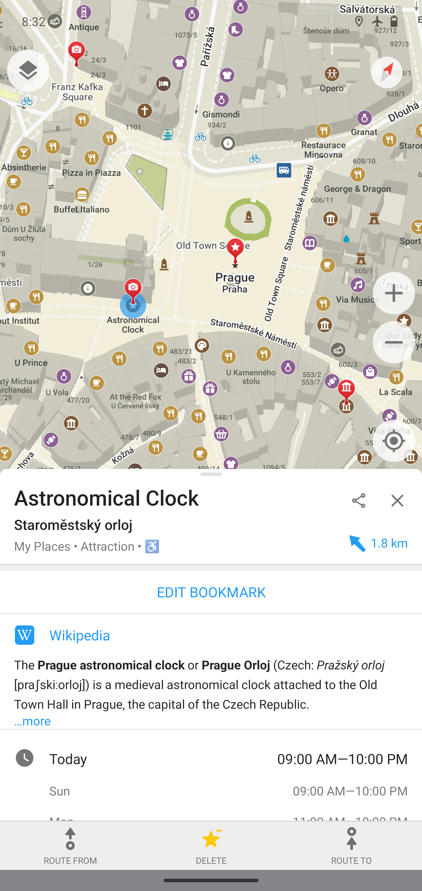
OsmAnd is an offline maps and navigation app built on OpenStreetMap and Wikipedia data, letting users store detailed maps directly on their device so routing works without an internet connection. Because routes are calculated locally rather than through a remote server, the app emphasizes user privacy alongside offline reliability.
- Offline functionality is reliable in areas with no cell coverage
- Community-sourced waypoint updates keep water and campsite data current
- Covers biking and paddling routes in addition to hiking trails
- Strong reputation among long-distance thru-hikers with a 4.8-star rating across 25,000+ reviews
- Works fully offline once maps are downloaded
- Open-source with community-sourced map data
- No routes sent to external servers, aiding privacy
- Detailed customization of map layers
- Full value requires either per-guide purchases or the Unlimited subscription
- Focused on long-distance trail corridors rather than general urban or road navigation
- Community data quality can vary on less-traveled or newer guides
- Interface is less polished than mainstream mapping apps
- Exact pricing for OsmAnd+ and subscription tiers isn't listed on the main site
- Map data quality depends on OpenStreetMap coverage in a given area
More alternatives & similar tools
Alternatives to FarOut
View all →
Privacy-focused offline maps and GPS navigation for hiking, cycling, and driving.

Alternatives to OsmAnd
View all →
Privacy-focused offline maps and GPS navigation for hiking, cycling, and driving.
The Verdict
AI-generated from listing dataOsmAnd offers broad offline map coverage and strong privacy as an open‑source tool, while FarOut focuses on curated long‑distance trail guides with community updates.
Key differences
- •OsmAnd provides general‑purpose offline maps for roads, cycling, walking and public transport; FarOut is limited to hiking, bikepacking and paddling trails.
- •OsmAnd is open‑source and does not send routes to external servers; FarOut is closed‑source with no privacy guarantees mentioned.
- •FarOut includes elevation profiles, water‑source and campsite data, and a strong reputation among thru‑hikers; OsmAnd lacks dedicated trail‑specific data.
- •Pricing model: OsmAnd’s freemium tier is unspecified for paid tiers; FarOut requires per‑guide purchases or an Unlimited subscription for full value.
- •Platform focus: OsmAnd is a single mobile app; FarOut works across phones, tablets and computers for planning.
Pricing & value
FarOut’s Unlimited subscription unlocks all guides; OsmAnd’s paid tier pricing is not listed, making value unclear.
Ease of use / learning curve
FarOut’s UI is designed for trail planning across devices; OsmAnd’s interface is noted as less polished.
Features & depth
OsmAnd offers turn‑by‑turn voice, multiple transport modes, map overlays, GPX export, and hourly live updates.
Integrations & ecosystem
FarOut works on phones, tablets, and computers; OsmAnd is mobile‑only.
Security & privacy
OsmAnd is open‑source and does not send routes to external servers; FarOut provides no privacy details.
Scalability
OsmAnd’s global OpenStreetMap data covers any region; FarOut is limited to specific long‑distance corridors.
Choose FarOut if…
Thru‑hikers, bikepackers, paddlers who want curated trail guides with elevation and waypoint updates.
Choose OsmAnd if…
Users needing worldwide offline navigation, multi‑modal routing, and strong privacy (e.g., hikers, cyclists, drivers).
Common questions
Can I use the apps without any internet connection?
Both work offline after maps or guides are downloaded; OsmAnd needs map downloads, FarOut needs guide files.
Is my route data shared with third parties?
OsmAnd does not send routes to external servers; FarOut’s data‑sharing policy is not specified.
What is the cost to unlock full functionality?
OsmAnd’s paid tier pricing is not listed; FarOut requires per‑guide purchases or an Unlimited subscription.