FarOut vs Tripomatic
Side-by-side comparison of features, pricing, ratings, and alternatives.


FarOut is a GPS navigation app built specifically for long-distance outdoor trails such as the Appalachian Trail and Pacific Crest Trail. It provides offline topographic maps, elevation profiles, and community-sourced waypoints for water sources, campsites, and resupply points across more than 250 trail guides worldwide.
Tripomatic (the rebranded successor to Sygic Travel) is a trip-planning platform that combines destination discovery with day-by-day itinerary building. It draws on a database of millions of places with details, opening hours, and local tips, letting travelers drag and drop stops into a schedule that automatically estimates travel time between them. The platform adds AI-generated itinerary suggestions based on interests and travel style, smart routing across multiple transport modes, and AI-driven cost estimation. Trips can be built collaboratively in real time, exported as PDF, GPX, or KML, and accessed offline, with mobile apps on iOS and Android used by a claimed 3 million-plus travelers.
- Offline functionality is reliable in areas with no cell coverage
- Community-sourced waypoint updates keep water and campsite data current
- Covers biking and paddling routes in addition to hiking trails
- Strong reputation among long-distance thru-hikers with a 4.8-star rating across 25,000+ reviews
- Combines discovery and scheduling in one tool
- AI itinerary generation speeds up planning
- Offline access and GPX/KML export
- Free-form collaborative editing with travel companions
- Full value requires either per-guide purchases or the Unlimited subscription
- Focused on long-distance trail corridors rather than general urban or road navigation
- Community data quality can vary on less-traveled or newer guides
- Pricing tiers are not published on the site
- AI suggestions still require manual review for accuracy
- Depth of local data varies by destination
More alternatives & similar tools
Alternatives to FarOut
View all →

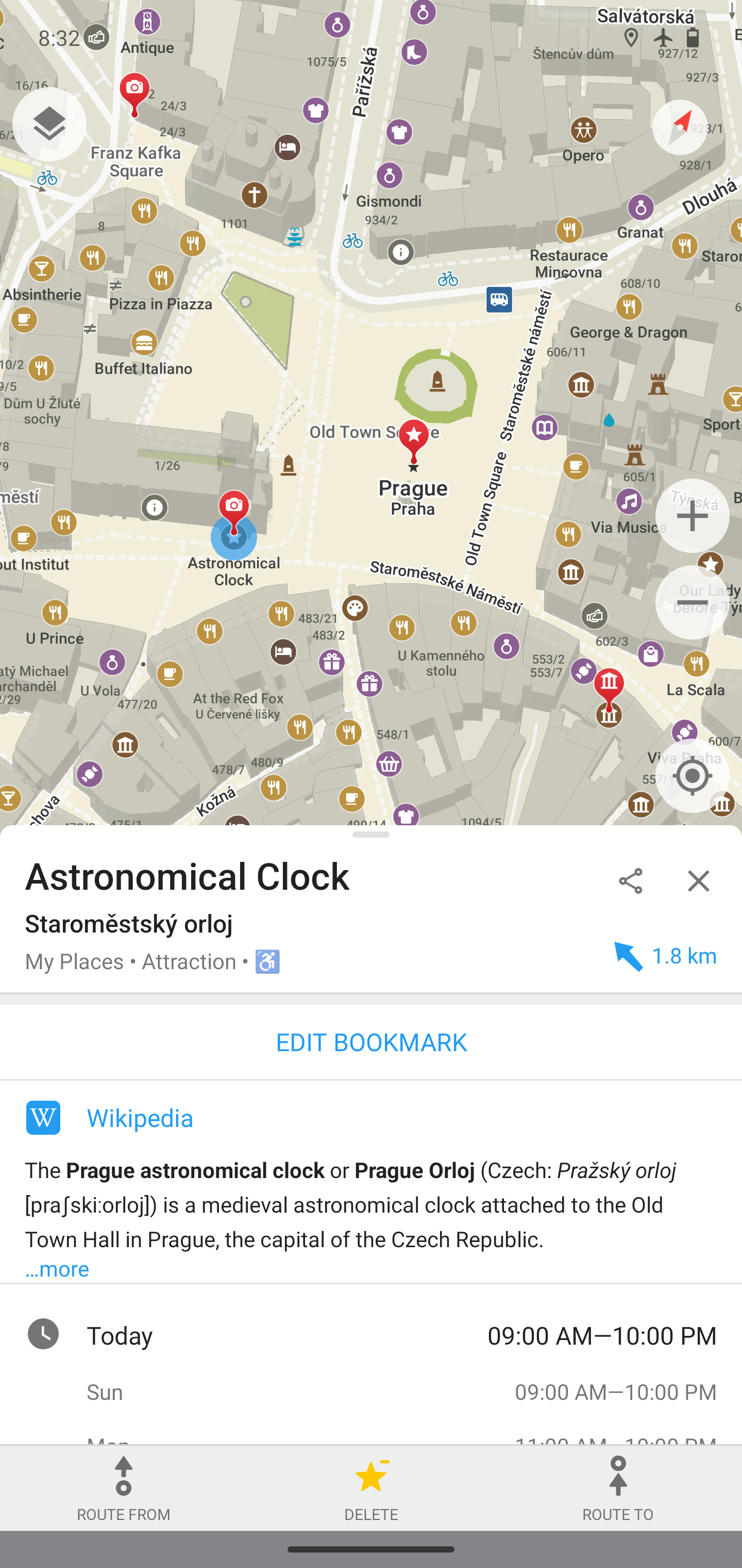
Privacy-focused offline maps and GPS navigation for hiking, cycling, and driving.