


prettymaps vs Ultimaps
Side-by-side comparison of features, pricing, ratings, and alternatives.

Prettymaps is a software that allows users to create visually appealing maps from OpenStreetMap data. It utilizes osmnx, matplotlib, and shapely to generate maps that are both informative and aesthetically pleasing. Prettymaps is ideal for users who want to create maps for various purposes, such as urban planning, research, or simply for visualizing geographic data.
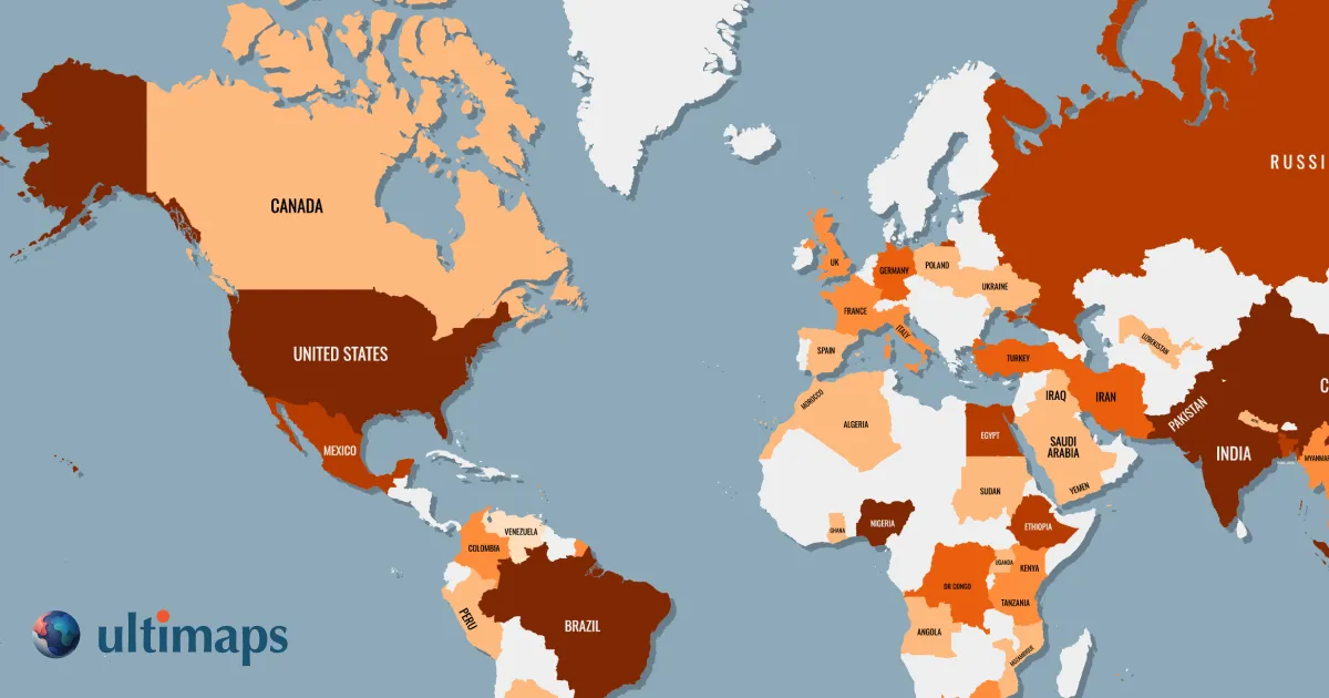
Ultimaps is a browser-based map visualization tool that lets users turn spreadsheet data into beautiful color-coded maps, export high-resolution PNG/SVG/PDF files, or embed interactive maps on websites without writing code.
- Easy to use
- High-quality map visualizations
- Customizable
- Open source
- Very easy to create maps without GIS or design skills
- Directly imports data from Excel, CSV, Google Sheets, and Notion
- Generous free tier with no sign-up required to start
- Interactive map embeds with tooltips, popups, and click-through links
- Limited documentation
- Steep learning curve for advanced features
- Dependent on OpenStreetMap data quality
- Free exports include attribution and are standard resolution only
- Attribution-free and vector exports require Pro subscription
- Not a street-level map tool, more of a regional data visualization tool
- Custom maps and advanced features cost extra
More alternatives & similar tools
Alternatives to prettymaps
View all →

Alternatives to Ultimaps
View all →
The Verdict
AI-generated from listing dataUltimaps offers a ready‑to‑use, no‑code web‑embed solution with a generous free tier but costs €49/mo for full features, while prettymaps is a free, open‑source Python library requiring coding expertise.
Key differences
- •Ultimaps is a hosted, no‑code SaaS with point‑and‑click map creation; prettymaps is a code‑based library you run locally.
- •Ultimaps includes AI‑assisted coloring and built‑in data import from Excel/Sheets; prettymaps relies on manual scripting and OSM data only.
- •Ultimaps provides interactive web embeds and export of high‑resolution PNG/SVG/PDF; prettymaps outputs static images via matplotlib.
- •Pricing: Ultimaps has a paid Pro plan (€49/mo) for premium exports; prettymaps is completely free and open source.
- •Support: Ultimaps offers sales‑backed custom plans and a paid tier; prettymaps relies on community GitHub support.
Pricing & value
prettymaps is free and open source; Ultimaps requires €49/month for Pro features.
Ease of use / learning curve
Ultimaps provides no‑code UI and AI prompts; prettymaps needs Python coding and has limited docs.
Features & depth
Ultimaps offers data import, AI coloring, interactive embeds, and vector exports; prettymaps focuses on static map generation.
Integrations & ecosystem
prettymaps integrates with OSM, matplotlib, shapely, and can be scripted; Ultimaps limited to Excel/Sheets/Notion imports.
Collaboration
Ultimaps offers workspace users and web‑embed sharing; prettymaps has no built‑in collaboration features.
Scalability
Ultimaps handles unlimited maps on free tier and higher limits on Pro; prettymaps depends on local compute resources.
Support
Ultimaps provides paid custom plans and a sales channel; prettymaps only community GitHub issues/discussions.
Choose prettymaps if…
Developers or analysts comfortable with Python who need free, highly customizable static maps.
Choose Ultimaps if…
Teams needing quick, interactive maps without coding, willing to pay for premium exports.
Common questions
What is the cost to get high‑resolution, attribution‑free exports?
Ultimaps requires the €49/month Pro plan; prettymaps can export high‑resolution PNG/SVG for free.
Do I need coding skills to create maps?
Ultimaps is no‑code; prettymaps requires Python programming.
Can I embed interactive maps on a website?
Yes with Ultimaps web embeds; prettymaps only produces static images, not interactive embeds.